Start using remote sensing in your team

Options for organizations
Options for Individual Users
Live and Online Classes
Some of the Projects We've Collaborated On

What Will You Learn with RAS?

Data visualization and map creation

Learn to interpret and present data effectively. Develop skills to create detailed maps using advanced remote sensing technologies and perform precise geospatial analyses to make informed decisions.
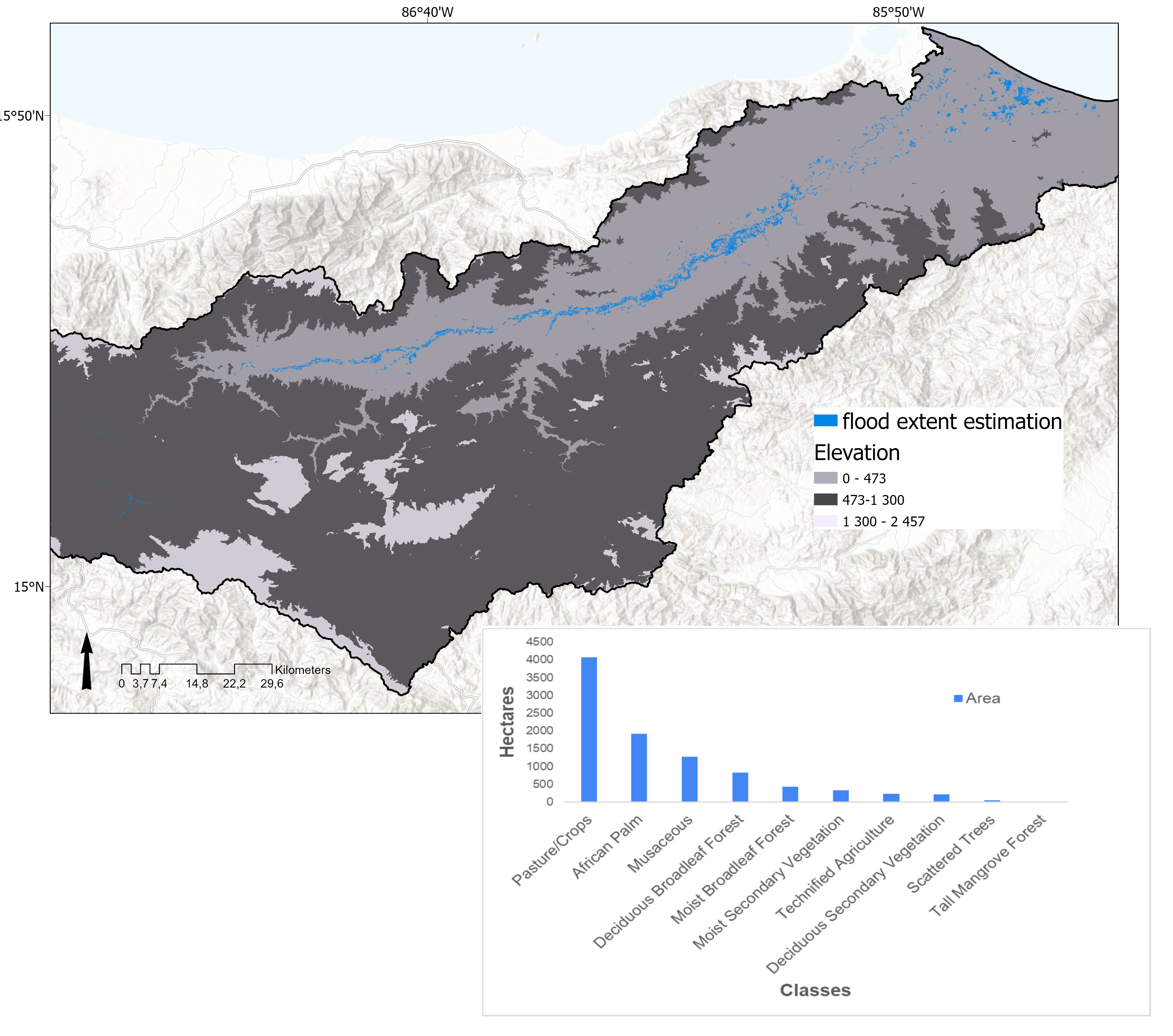
Flood extent and elevation map, with a chart of hectares affected by land use.
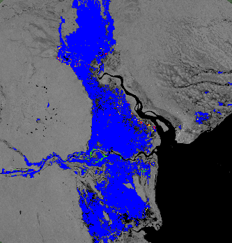
Flood extent layer based on Sentinel-1 GRD data, processed in GEE.

Access to Satellite Data

Retrieval, use, and visualization of satellite data

Learn how to access and retrieve satellite data from various sources. Use advanced tools to effectively visualize satellite data, analyze satellite images, extract relevant information, and integrate satellite data with other sources to obtain a comprehensive view.

Data-Driven Decision Making

Work with data related to water, agriculture, climate, and more

Discover how to manage and monitor water supply in different regions. Learn to assess and improve crop health using satellite data, understand climate patterns and their impact on agriculture, and apply environmental conservation techniques.
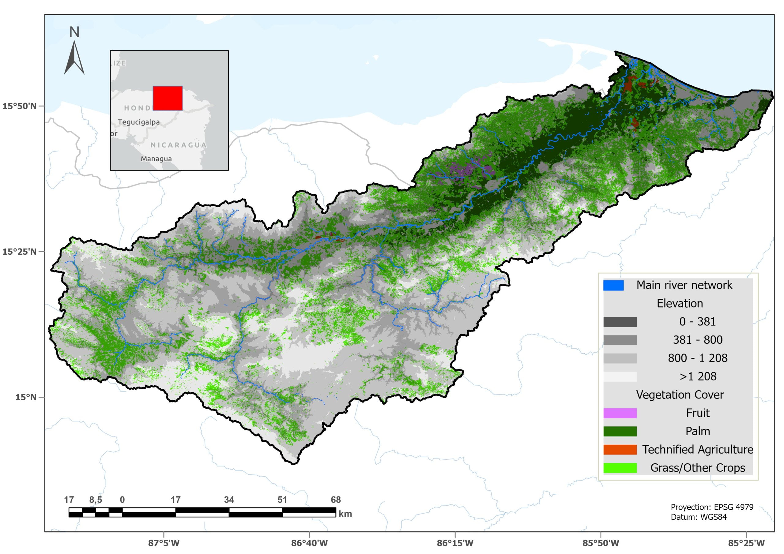
Main river network and elevation map, with vegetation cover and land use.
Take a Look at

Our past trainings

Over the years, we have offered a series of specialized trainings in remote sensing.

Contact Us to Plan Your Learning

📍 Curridabat, San José, Costa Rica
📞 +506 8338-5376